
Galesburg Neighbors by Source
No single roll lists everyone on a Galesburg block. The city parcel viewer lays out the lots, Devnet adds parcel cards, recorder records document ownership transfers, and historical sources show earlier uses or occupants. Choose the source that answers the question. A property owner may live elsewhere, a mailing address may belong to an agent, and a directory entry may describe a business rather than a home.
| Source | What It Shows About a Block | Access |
|---|---|---|
| City ParcelSearch and County GIS | Parcel outlines, PINs, map position, and adjacent lots | Browser viewers; maps are advisory |
| Devnet tax cards | Owner, mailing and site addresses, tax year, legal description, and sales | Public browser cards |
| Tapestry or Laredo | Recorded parties and instruments tied to a PIN or legal description | Paid search, subscription, or Clerk request |
| Sanborn maps | Buildings, materials, stories, and uses across seven dates | Library of Congress scans |
| GPL and CARLI | Directories, papers, rosters, and dated block clues | Digital, microfilm, or reading room |
For current neighbors, record only what is needed. The parcel and tax roll can establish a public ownership name, parcel ID, and mailing relationship. They do not prove every occupant. Illinois voter registration status lookup is meant to confirm one's own registration and is not a public block roster. Historical directories and organization files have their own gaps and access rules.
Galesburg Blocks Before Parcel Maps
The original Galesburg plat covered 160 acres in 42 blocks. Its east-west and north-south grid is the right frame for many early address descriptions. The railroad's 1854 arrival made the depot corridor, shops, hotels, and industry part of the block story. Later boundaries and annexations mean a current ZIP or city label may not match the legal or historical setting.
Five Points is a useful named anchor at South Prairie, South Kellogg, Depot or Warehouse, Brooks, and Central. Broad Street's surviving brick segments north of Losey and south of Fremont offer another test for a photograph or vague source. These clues narrow a block. They do not identify Galesburg neighbors by themselves.
Map a Galesburg Neighbor Block
The City of Galesburg ParcelSearch accepts a PIN, address, or owner. Its map is advisory, not a field survey. Use it to locate a target parcel and the lots that touch it, then open Devnet cards only where the research question requires a public owner or sales detail.
- Normalize the target address and capture its PIN, legal description, subdivision, and lot.
- Identify the side-adjacent parcels and any rear or through lots shown on the map.
- Record parcel IDs and street positions first. Open tax cards only as needed.
- Compare site and mailing addresses, sales, and tax years without assuming that an owner occupies the home.
- Use the full Galesburg street directory only when the question expands beyond the immediate block.
The successful working parcel-map endpoint shows the map used for an adjacent-lot check:
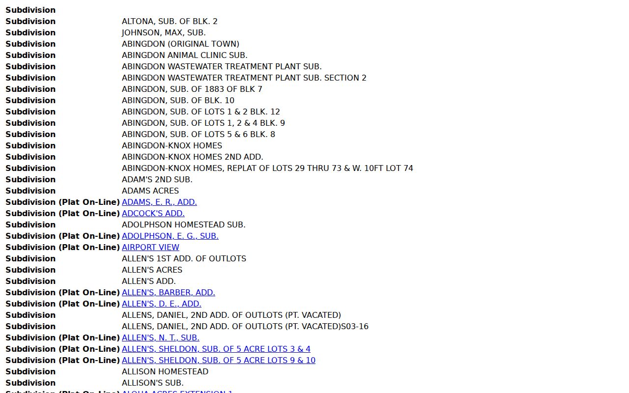
The visual relationship is a starting point. Confirm boundaries, title, and dates in the corresponding official records.
Galesburg Neighbor Record Choices
Official sources and commercial neighbor tools serve different roles. An official record is tied to a custodian, record type, and update process. A commercial result may merge old addresses or people with similar names and often hides its source. Use official rolls for a fact they are designed to show, then verify that fact with the office that holds it.
| Source type | Best use | Main limit |
|---|---|---|
| Official parcel and deed records | Parcel identity and recorded ownership | Not a complete occupant list |
| Library and archive records | Dated historical blocks and associations | Gaps and item-specific access |
| Commercial neighbor category | Possible lead to verify elsewhere | Unclear sourcing, stale merges, and fees |
When an official portal fails, use the documented fallback: County GIS for a narrow map request, the Assessment Office for a parcel history, the Clerk & Recorder for deed copies, GPL for directories, and Illinois FOIA for a clearly described public city or county record.
County GIS is housed in Annex Suite 1 at 121 S Prairie Street and handles parcel maps and digital layers. Because the office has one full-time employee, a request for one PIN, one block, or one named layer is more realistic than a broad custom map. The Assessment Office is in the same annex and can address parcel or address changes that a portal card does not explain. For title questions, take the legal description to the Clerk & Recorder at the courthouse rather than asking GIS to decide ownership.
Galesburg Civic Networks by Block
Community records explain why people or places occur together. The Downtown Council supplies district and board context, while the Chamber directory points to family, community, and civic organizations. The city's Adopt-A-Park program identifies groups associated with public spaces. None is a household directory, and each organization should be checked through its own public contact.
Galesburg Downtown Council
150 W Main Street. Use its board and special-service-area context for dated downtown civic research.
Chamber Civic Directory
A category-level route to Galesburg-area groups. Verify every listing with the named organization.
GPL Organization Collections
Rotary, Cosmopolitan Club, church, and other records require collection-specific archive access.
The Chamber civic-organization directory presents this public organization layer:
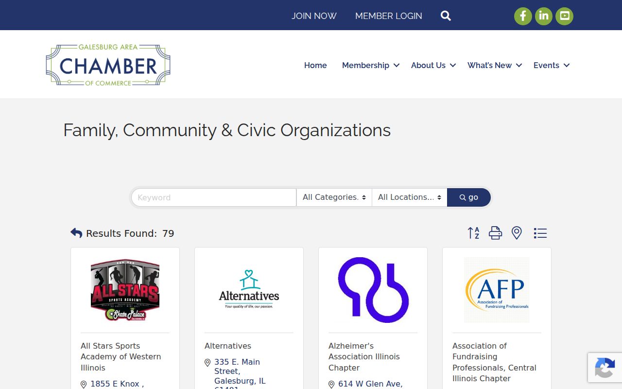
The listings can lead to a public group contact, but they do not establish where a member lives.
Galesburg Downtown Boundary Clues
A 2023 City Council packet includes the Special Service Area 1 boundary, parcel PINs, and streets such as Cedar, Ferris, Simmons, Seminary, Mulberry, Chambers, and Main. It also records an annexation at 695 Knox Highway 10. This is a strong example of why street names alone do not define a legal area. Use the packet map and ordinance for the boundary.
The Galesburg Downtown Council board page shows the current civic body connected with downtown:
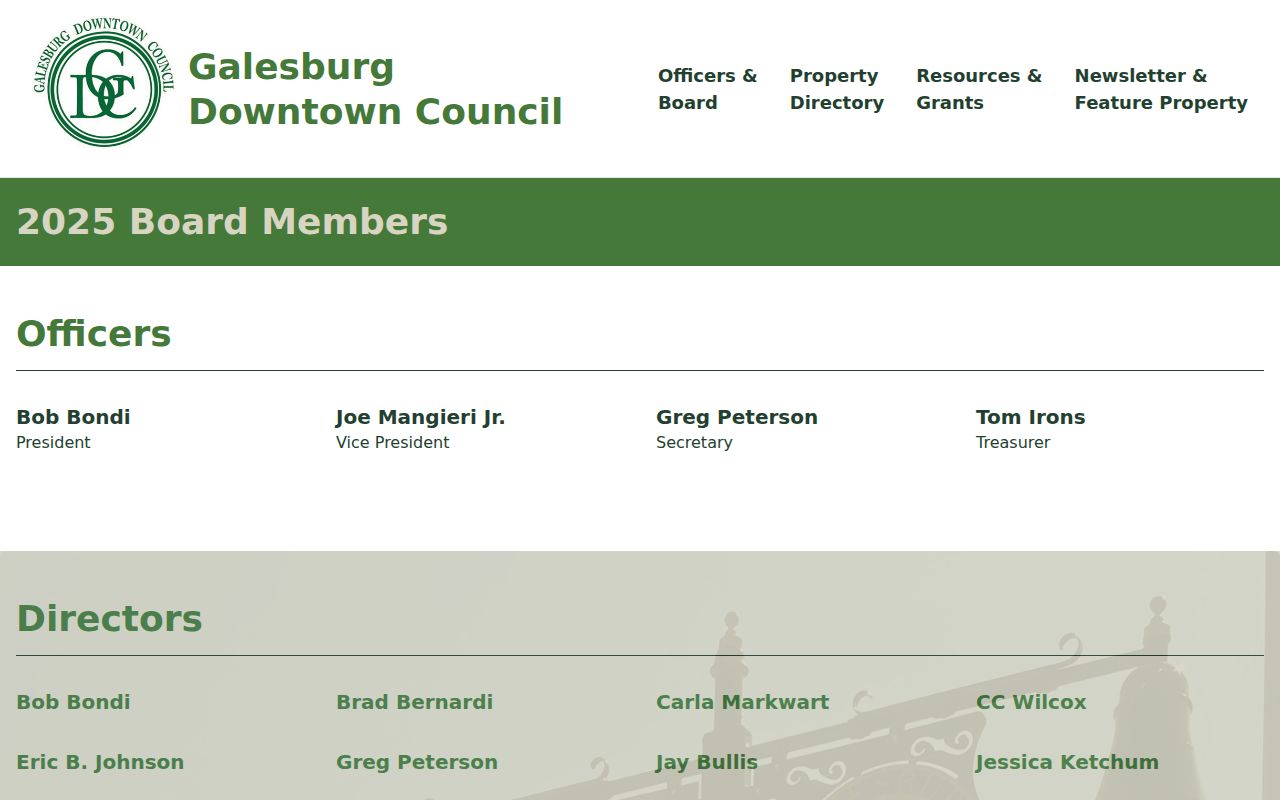
A board listing proves an organizational role at a date, not residence on a nearby block. Keep that distinction in every citation.
Find Historical Galesburg Neighbors
For an earlier block, switch from current names to dated structure and directory evidence. Sanborn maps show Galesburg buildings in seven sets from 1888 through 1927. GPL holds city directories, newspapers, city-clerk elector registers from 1867–1910, Rotary directories from 1914–2024, Cosmopolitan Club rosters from 1949–1990, and First Christian pastor notes from about 1921–1940.
Preserve side-of-street, cross-street, number of doors, and page wording. A CARLI example describes a Monroe Street location as six doors north of North Street. That is a candidate block, not a safe modern address conversion. Test it against the matching Sanborn sheet and directory year. If the exact conversion cannot be shown, report the block and uncertainty.
Historical neighbor work becomes stronger when two independent sources agree. A directory and census may connect a household to a street and year. A Sanborn sheet can then show whether the numbered place was a dwelling, shop, hotel, factory, or vacant lot. Newspapers may explain a board role, meeting place, move, fire, or business notice. Cemetery records and probate indexes can close a deceased person's trail, but neither proves the last address without another source.
GPL archival items may be viewed only when the archivist is available. Ask in advance for the directory year, collection title, street range, and whether the material can be photographed or quoted. For IRAD records at Western Illinois University, begin with the exact Knox County series and dates, then confirm access and copy terms. This fallback chain matters because many local rosters are finding aids or reading-room collections, not public name-search portals.
Note: Shared appearance on a map sheet or roster does not prove a personal relationship between Galesburg neighbors.
Protect Galesburg Neighbor Privacy
Public parcel data does not make every detail fair to collect or repeat. Utility records, delivery data, private phone numbers, full birth dates, signatures, and protected addresses should not be used to fill gaps in a neighbor lookup. Illinois FOIA can exempt personal information when release would be a clearly unwarranted invasion of privacy. The Illinois Address Confidentiality Program also gives eligible participants a substitute address and protected voter procedures.
Use the narrowest field that answers the question. A PIN, block, public organization, year, or record type often gives enough context. If a mailing and site address differ, describe the record without concluding why. Confirm a current record with its custodian and avoid copying personal details into a new list.
Lawful use. Galesburg neighbor research is for block history, civic curiosity, reconnecting, or personal safety awareness. Never use it to watch, intimidate, stalk, or harass anyone.